


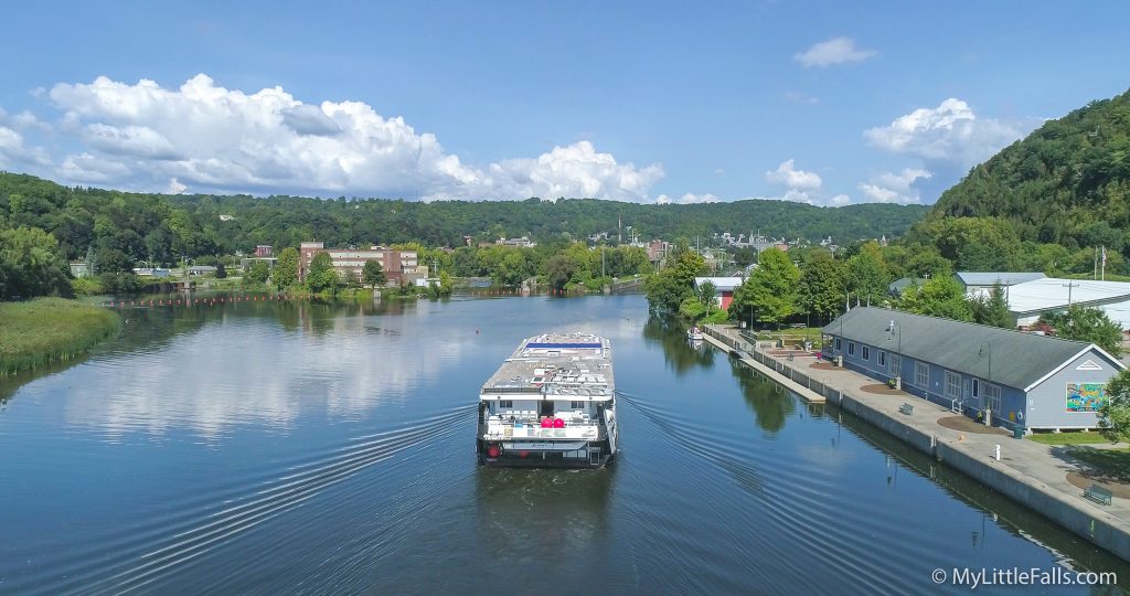
The Grande Mariner passes by the Little Falls Harbor on its way to Lock 17 during the summer of 2018.
By Dave Warner
Editor’s Note: This article was originally published on December 14, 2020, but is being republished today (08/10/2023) because there is a Western Inland Lock Canal Guard Gate signage dedication at 11 am at Elizabeth Street and the Hansen Island Bridge – Co-sponsored by the Little Falls Historical Society and Rotary Club.
Most people look at the Erie Canal today and think it was the first to come through the City. But, in the late 1700s (1792-1820), the New York Legislature enacted a bill that created the Western Inland Lock Navigation Company, a private corporation.
Their goal was to create several improvements along the natural waterways, which included a mile-long canal in Little Falls, with five lift locks, one guard lock, and a dam, cut mostly through solid rock to bypass the land carry that existed in the City. The ‘little falls’ were a vertical drop of more than forty feet, which made navigation through the City perilous.
The construction would allow them to improve the inland water route from Schenectady to the Great Lakes, bypassing navigation obstructions, and allowing canal travel decades before the better-known Erie Canal crossed the state from Albany to Buffalo.

Before 1790, east-west transportation in the state used the Mohawk River-Oneida Lake inland waterway, which connected Atlantic shipping to ports on the Great Lakes. That trip started with a land carry from Albany to Schenectady to bypass the Mohawk’s great falls at Cohoes and moved west up the river to the little falls, where boatmen hired teamsters to haul their craft and cargo on roads built in the gorge.
Revolutionary War General Philip Schuyler headed the company, and his goal was to remove the natural obstacles in the Mohawk River route by deepening the channel, straightening the course, eliminating portages (the carrying of boats, goods, etc., overland from one navigable water to another), removing rocks, and building dams to enhance water depth.
In Little Falls, the guard lock was meant to control the amount of water entering the canal from the river to prevent flooding, while the other five locks were meant to raise and lower boats. Work in the City began in April 1793 and was completed on November 17, 1795, when the first boats passed through.
When the company completed the removal of the portages, it made it possible to move larger cargoes on bigger boats called Durhams. They were approximately 60 feet long, carried up to 12 tons, and had a crew of four polemen who propelled the boat forward with poles 18 feet long. A fifth crewman was responsible for maneuvering in the channel and for safe passage through the river’s fast-moving rifts.
Some canal boat companies offered two-day passenger service between Schenectady and Utica, encouraging early western settlement in upstate New York. At one point, the canal in Little Falls saw more than three hundred boats move through in one day.

A map of the route (dashed red lines) that the Western Inland Lock Navigation Company took through Little Falls.
Just west of Lock Street, you would see the guard lock. A long level of varying width ran south of Elizabeth Street and north of Mill Street, where the Vincent Manufacturing building now stands. The canal continued beyond Second Street, where there was a lock.
There was another lock about where the Burrell plant is located, then a cut in the rocks with three locks descending through the Burrows raceway to join the Mohawk River below the falls or rapids. None of these five locks are now visible.
The original locks were built with timbers but had to be rebuilt with stone around 1800. The contrast between those early locks in Little Falls is stark compared to Lock 17, which opened in 1916. It is 310 feet long, 45 feet wide, and has a lift of over 40 feet.
The company had to deal with many cost overruns because of the level of difficulty of the project and poor engineering, which resulted in the rebuilding of many of the locks. The entire project cost more than $400,000, and the company was forced to charge such heavy tolls that, eventually, the canal was hardly used.
The property of the Western Inland Lock Navigation Company was purchased by the State of New York in 1820 to make way for the construction of the Erie Canal, which had begun in 1817. Many of the engineering techniques developed during the construction of the early waterway were later used to construct the 363-mile-long Erie Canal.
The original canal proved one thing, though; that artificial waterways were the coming thing, and many believe it paved the way for the Erie Canal, which was completed in 1825.
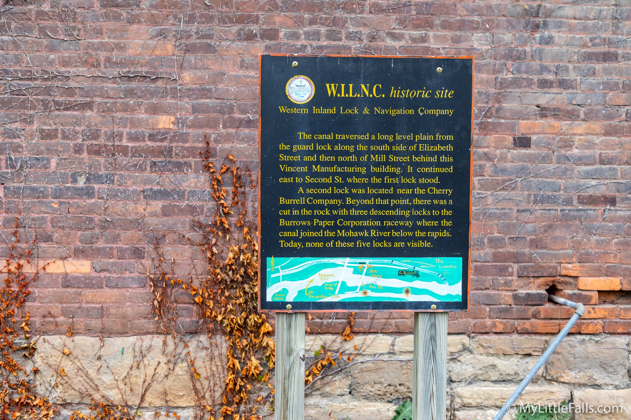
Photo by Dave Warner – One of the few readable signs in existence for the Western Inland Lock Navigation Company canal in Little Falls.
Even after the Erie Canal was completed, merchants and factories continued to use the old canal to float supplies in and merchandise out through the basin and aqueduct in the City.
In June of 1881, the aqueduct burst, draining the feeder and basin and leaving an unsightly mud hole on what was then considered the south side of the City. In December 1881, the Canal Board abandoned the feeder and aqueduct and offered them for sale.
Remains of the Western Inland Lock and Navigation Company were excavated in 1992 by archaeologists from the New York State’s Cultural Center in Albany. Those remains are among North America’s oldest extant canal features.
In a statement during a public hearing on the development of the New York State Canal System in 1990, Philiip Lord, Jr., Senior Scientist (Archeology) with the State Education Department, said, “Once these sites are gone, they can never be recreated, and to lose that depth of history along our canal system – that sense of the modern waterway being but the latest in a 200-year progression of water transport in New York State – would be a tragedy just when the role of these resources in a recreational revitalization of the canal system is being discussed for the decades ahead.”
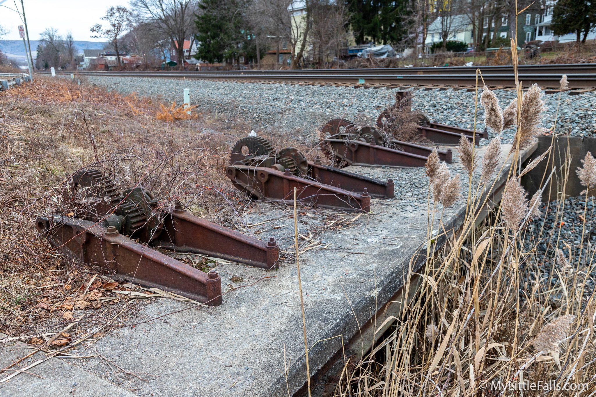
Photo by Dave Warner – The guard lock location is just in front of the entrance to Hansen Island. The signs explaining the significance of this spot have all faded away.